
Diagram to destination
Describe the intended paving, planting and atmosphere. Compare the resulting blocks, streets and open space with your plan; the AI may change urban structure.
RNDRS · Masterplan render
Use massing exports, aerial photographs or plan images to explore the visual character of an urban proposal. Review streets, blocks and open spaces against the masterplan. A generated image does not verify walkability, access or planning compliance.
AI rendering that works from the image you already have — a sketch, a model view, a photo. Ask for the change, keep every version. In the browser, no plugin, no GPU. From $19 a month, or $99 once — credits never expire. 5 free renders. No card. Failed renders are refunded automatically.
Studio is available to everyone. Create an account to get started.
Open Studio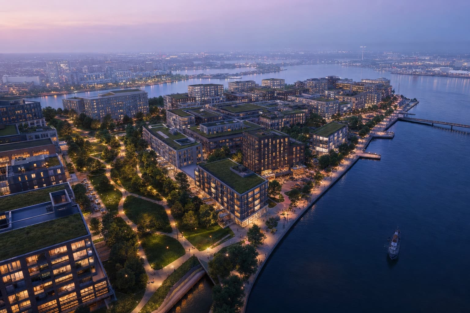
Keep the source, your instruction and the result together. Review each change before continuing.
Figure-ground, massing export or drone/aerial photo
"Mixed-use district, canal promenade, dusk, active ground floor"
Atmospheric aerial visualization with AI
Drone-style flythrough clip for the exhibition loop
Choose the workflow around the image you need to deliver and the control your project requires.
Describe the intended paving, planting and atmosphere. Compare the resulting blocks, streets and open space with your plan; the AI may change urban structure.
Supply a view for each phase and reuse your visual brief. Review the boundaries and buildings separately; generated images do not calculate phasing or guarantee consistency.
Develop selected aerial, eye-level or seasonal studies from appropriate source views. Explain what is conceptual and keep authoritative planning drawings available during review.
Massing model exports and aerial-perspective views give the strongest results. Figure-ground plans and illustrative plans also render well as top-down or bird's-eye visuals.
AI generation can change geometry or introduce details. Compare the output with your source and verify dimensions separately. The image is a visualization, not measured documentation.
Use suitable source views for each scale. A crop retains the original camera; it does not supply a measured street-level view. Reuse the brief and inspect consistency across results.
Yes — image-to-video generates drone-style camera moves from your hero aerial, ideal for exhibition screens and investor decks.
Upload something you are working on. Explore a direction in Studio, then refine it against your original.