
Diagram to destination
Explore the visual character of streets, public spaces and building materials. A generated image can support discussion, but it does not verify walkability, access or planning compliance.
RNDRS for Masterplanners
Bring a massing-view export or aerial photograph into Studio to explore an urban design direction. Use diagrams to explain intent, compare generated streets and buildings with the plan, and keep measured planning decisions in your project documentation.
AI rendering that works from the image you already have — a sketch, a model view, a photo. Ask for the change, keep every version. In the browser, no plugin, no GPU. From $19 a month, or $99 once — credits never expire. 5 free renders. No card. Failed renders are refunded automatically.
Studio is available to everyone. Create an account to get started.
Open Studio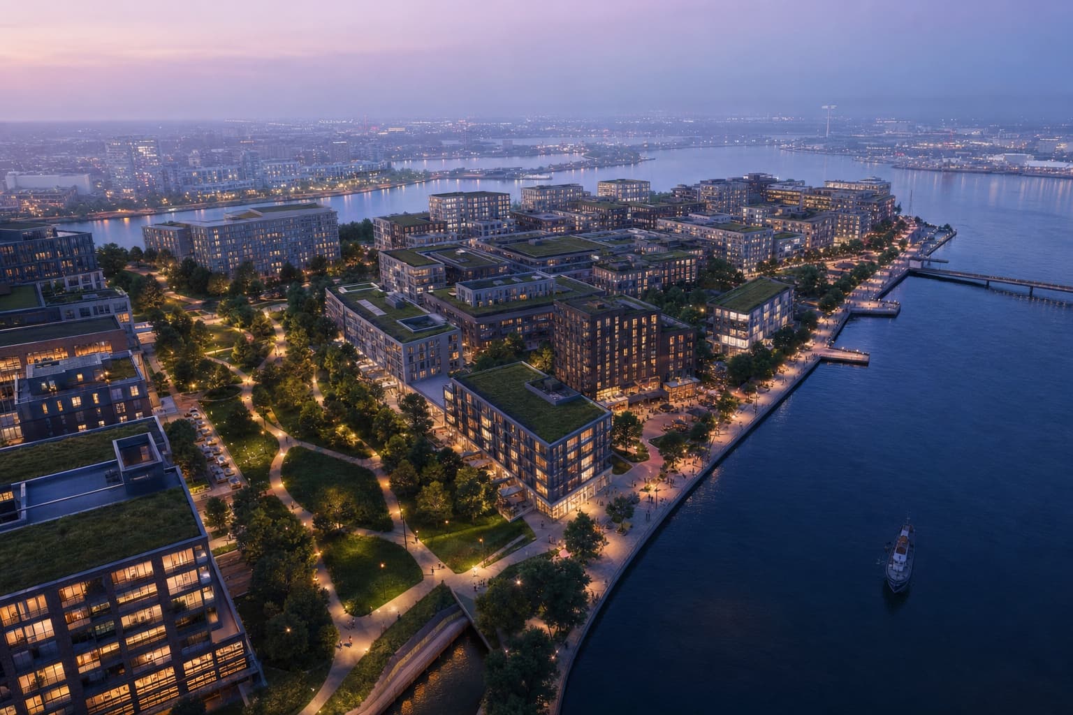
Keep the source, your instruction and the result together. Review each change before continuing.
Massing export or aerial photo
"Mixed-use district, dusk, active ground floor"
Atmospheric aerial visualization
Drone-style flythrough clip
Choose the workflow around the image you need to deliver and the control your project requires.
Explore the visual character of streets, public spaces and building materials. A generated image can support discussion, but it does not verify walkability, access or planning compliance.
Explore build-out concepts from separate phase images. Reuse your material and atmosphere brief, then check consistency and phase boundaries manually.
Generate a short motion study from an aerial image. Inspect building shapes, streets and movement across the clip before presentation; it is not a measured route through a 3D model.
Start with a massing-view export or aerial photo. Figure-ground images can guide concepts, but generated streets, blocks and building details must be checked against the original plan.
Reuse the material and lighting brief with each phase image. Visual consistency still needs review; it is not guaranteed across generations.
Image-to-video can suggest a short drone-style movement from an aerial render. It is generated motion, not a geometrically accurate route through a 3D model. Check the action cost before generating.
The pricing page lists the current starting allowance, subscriptions and credits. Video and finishing actions have different costs from standard rendering.
Upload something you are working on. Explore a direction in Studio, then refine it against your original.